January 22, 2025
2 min read
Here’s What Caused the Rare, Record Florida Snow
A perfect confluence of an Arctic air outbreak and a low-pressure system that pulled in moisture from the Gulf of Mexico brought rare, record snow to the Gulf Coast
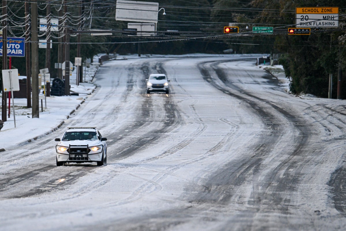
Car drives on snow after snowfall on January 22, 2025 in Tallahassee, Florida.
Miguel J. Rodriguez Carrillo/Getty Images
In scenes more reminiscent of Milwaukee or Boston, Gulf Coast cities from New Orleans to Pensacola, Fla., found themselves blanketed under drifts of snow. Palm trees had powdered-sugar-like coatings on their fronds, and golden beach sands were dusted in white.
Louis Armstrong New Orleans International Airport “shattered” its previous snowfall record, with eight inches coming down on Tuesday, says Hannah Lisney, a meteorologist at the National Weather Service’s New Orleans/Baton Rouge office. The previous record, from December 31, 1963, was 2.7 inches. Likewise, Florida looks to have set a new state snowfall record, with 8.8 inches reported in the city of Milton in the state’s panhandle. The previous record of four inches was also set in Milton on March 6, 1954. Tuesday “was a wild day,” says Jason Beaman, a meteorologist at the NWS’s office in Mobile, Ala.
The rare southern snow was the product of a confluence of events that included cold Arctic air colliding with abundant ocean moisture, somewhat akin to a Gulf of Mexico version of what meteorologists call lake effect snow—a phenomenon that usually describes the notoriously bitter winter weather in the Great Lakes region.
On supporting science journalism
If you’re enjoying this article, consider supporting our award-winning journalism by subscribing. By purchasing a subscription you are helping to ensure the future of impactful stories about the discoveries and ideas shaping our world today.
The Gulf Coast frequently sees low-pressure systems spin up over the Gulf, push northward and skim along the coast, Lisney says. Usually that means rain because of the abundant moisture such systems can pull from the warm Gulf waters. But the Arctic blast that preceded this particular low-pressure system meant that all that moisture became snow. “The timing just matched up perfectly to where we just got that Arctic air mass move in a couple of days ahead of time,” Beaman says. And the difference in temperature between the warm, moist air that was pulled aloft and the deeply entrenched cold air amplified the snowfall, he says. Snowfall rates were as high as one to two inches per hour. “That’s good snow no matter where you go,” Beaman says.

Sous chef Eric Walker engages in a snowball fight outside the Bourbon House Restaurant in the French Quarter on January 21, 2025 in New Orleans, Louisiana.
Michael DeMocker/Getty Images
In the lake effect snow that is common around the Great Lakes, cold air from Canada pushes down over the lakes when they are still relatively warm and not yet iced over. The cold air causes water from the lakes to evaporate, which slightly warms the air above the water’s surface, making it rise. As it rises, it cools again, causing the moisture in it to freeze and fall as snow—usually on places like Cleveland, Ohio, and Buffalo, N.Y.
With the storm along the coast of the Gulf yesterday, the direction of air flow in the low-pressure system meant the storm funneled in moisture from the Gulf to keep the snow falling—and falling and falling.
Though the snow was a delight for many coastal residents who have been more accustomed to sweltering heat, the conditions do pose a danger. The snow melts some during the day and then refreezes at night when temperatures plummet, meaning icy road and sidewalk conditions await in the morning. But in the coming days, the snow is expected to thaw as temperatures rise to more seasonable levels.

